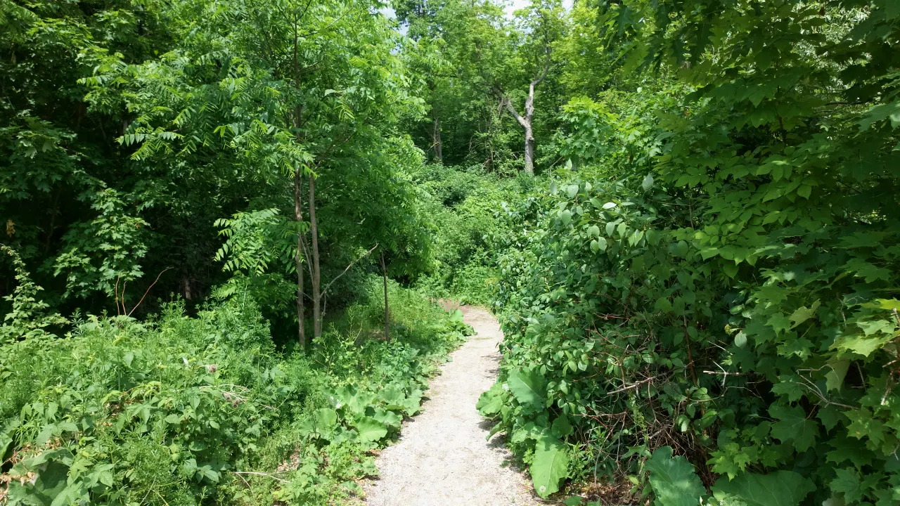
Parks & Trails
The Credit River valley runs alongside Estates of Credit Ridge, with parks, named ponds and trails you can reach without getting in a car. It shapes daily life in the neighbourhood.
The Credit River Recreational Trail
The Credit River Recreational Trail is the backbone of outdoor life in Estates of Credit Ridge. The trail follows the Credit River valley through Brampton, connecting into the broader Credit Valley Conservation trail network that runs from Orangeville south to Lake Ontario in Mississauga - one of the longest continuous greenway systems in the GTA.
The Brampton section is multi-use: wide enough for walkers, joggers, and cyclists to coexist comfortably. It's paved in sections and natural surface in others, making it suitable for road bikes on the paved stretches and hybrid or mountain bikes throughout. The river valley landscape - steep wooded banks, open meadow sections, and the river itself - gives it a character that suburban trails rarely achieve.
For Estates of Credit Ridge, the advantage is proximity. Ponds, Wolf Country Valley and the Mississauga Road and Williams Parkway trails are woven through the neighbourhood, so a run or walk along green space is a routine weekday option, not a weekend expedition.
Trail System Facts
- Part of the broader Credit Valley Conservation trail network
- Multi-use: walking, running, cycling
- Mix of paved and natural surface sections
- Dog-friendly - leash required in most sections
- Accessible year-round (some sections may be icy in winter)
- Connects north toward Orangeville, south toward Mississauga
- River valley wildlife corridor - deer, birds, fox regularly spotted
Ravine and Pond Lots: Why They Matter
Homes that back onto ponds, Wolf Country Valley or other green areas usually sell at a premium over comparable homes that don't. Privacy and a natural view can't be added by renovation, so whether a lot backs onto a pond or green area is worth understanding before you compare prices.
Explore the Neighbourhood's Parks
A closer look at five parks inside Estates of Credit Ridge.
Ponds & Valleys
Estates of Credit Ridge has a network of City of Brampton stormwater ponds, valleys, and woods, each with its own name and page. Source: City of Brampton Open Data, licensed under CC BY 4.0.
Abraham Block Pond
Pond · 0.9 ha
Arthur Warner Pond
Pond · 4.2 ha
Christopher Stork Pond
Pond · 4.5 ha
Christopher Stork Woods
Woods · 6.8 ha
David Heggie Pond
Pond · 3.7 ha
Emerick Pond
Pond · 2.9 ha
Haywood Pond
Pond · 2.9 ha
Intrigue Pond
Pond · 1.7 ha
Joe Ashton Pond North
Pond · 2.8 ha
Joe Ashton Pond South
Pond · 2.5 ha
Joe Ashton Valley
Valley · 12.7 ha
Longevity Pond
Pond · 4.9 ha
Samuel Connor Pond
Pond
Wolf Country Pond
Pond · 2.7 ha
Wolf Country Valley
Valley · 14.1 ha
Parks and Recreation In and Around the Neighbourhood
Four Neighbourhood Parks
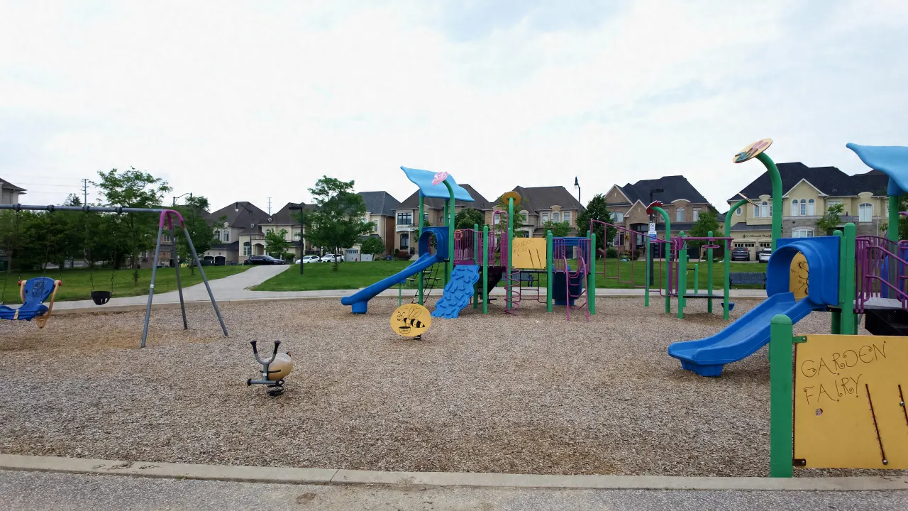
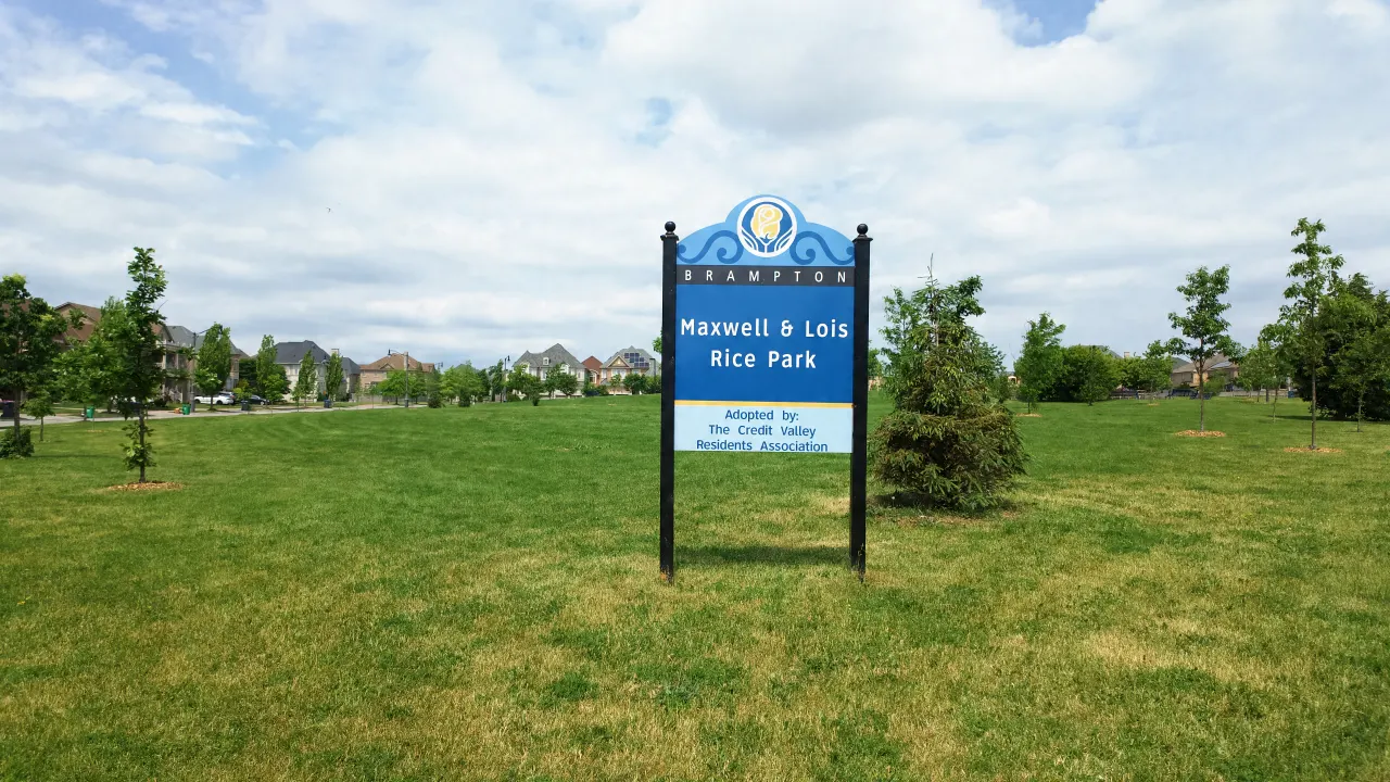
Luongo Park, Maxwell & Lois Rice Park, Lorenville Park and Maybeck Park sit inside the neighbourhood, along with the Wolf Country Valley green space. Each has its own guide in the park listings above.
South Fletcher's Sportsplex
A major City of Brampton recreation facility a short drive away, with two NHL-sized ice rinks, indoor soccer and multi-sport fields, fitness facilities, and year-round programming for all ages. A regular stop for families in organized sports.
Credit Valley Conservation Lands
Conservation Authority-managed lands along the Credit River provide protected natural habitat beyond the city's maintained trail network. These areas include forested valley sections, wetland habitat, and naturalized meadows, reached from the Recreational Trail.
City of Brampton Recreation Centres
Several City of Brampton recreation centres are within 10 to 15 minutes, with swimming pools, fitness equipment, gymnasiums, and structured programming, so there is no need to drive to Mississauga or Toronto for municipal recreation.
Year-Round Outdoor Life
What the trail system and parks look like across seasons.
Spring & Summer
The trail is at its best from April through October. Families with children use the parks and trail system daily. The river valley is in full leaf, wildlife is active, and the trail handles heavy use without feeling crowded because the network is long enough to absorb it. Morning runs, after-school cycling, and weekend hikes are all routine.
Fall & Winter
Fall is arguably the most visually striking season on the Credit River trail - the valley turns in October and the combination of colour and riverside setting is genuinely impressive. Winter access depends on conditions; paved sections clear faster than natural surface stretches. Some residents use the trail for snowshoeing when conditions allow. The parkettes and open parks are used for skating when rinks form naturally in colder winters.
Want to Know Which Homes Back Onto Green Space?
Not every home here backs onto a pond or ravine, but some do, and it makes a real difference to daily life and value. I can walk you through which streets offer what.