Pond Guide · Estates of Credit Ridge

Arthur Warner Pond

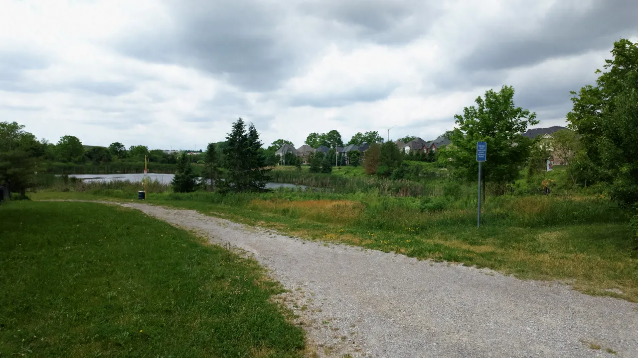
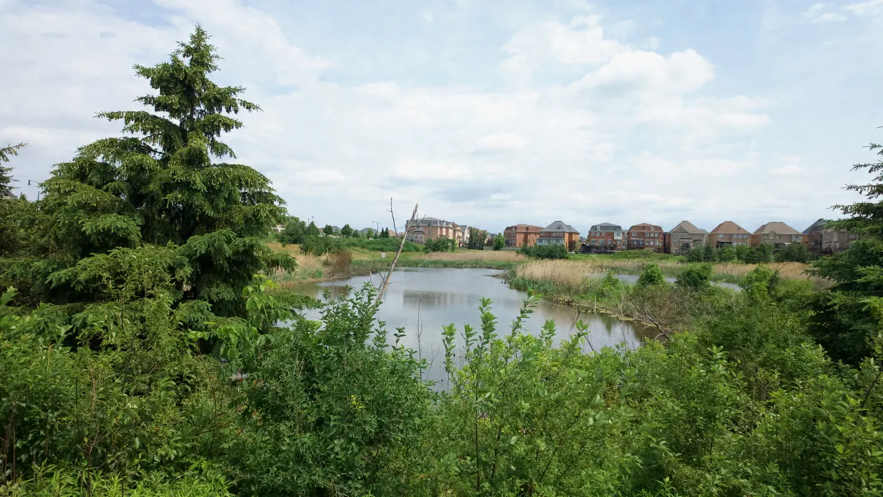
A City of Brampton stormwater management pond on Royal West Drive, near Queen Street West, in Estates of Credit Ridge.

About the Pond

Arthur Warner Pond is a City of Brampton stormwater management pond on Royal West Drive, near Queen Street West, in Estates of Credit Ridge. The City built it in 2011, and at about 4.2 hectares (roughly 10 acres) it is one of the larger water features in the neighbourhood.

Like every stormwater management pond in Brampton, Arthur Warner Pond is an engineered facility. It is built to capture rainwater and runoff from the surrounding streets and release it slowly, reducing the load on the municipal storm sewer system during heavy rain. It is not designed, maintained, or intended for swimming or skating.

According to Harpreet Sandhu, Real Estate Broker with Right At Home Realty, some homes on Royal West Drive and on the south side of Agincourt Circle back directly onto Arthur Warner Pond, giving those lots a water view and a strip of green area behind the property line. Buyers and sellers comparing ravine and pond lots in Estates of Credit Ridge often ask about this specific stretch of Royal West Drive.

The pond sits toward the northern part of Estates of Credit Ridge, within an easy walk of several of the neighbourhood’s other named ponds and green areas.
City of Brampton Data

Arthur Warner Pond in the City's Records

Listed by the City of Brampton as Arthur Warner Pond. Stormwater pond managed by the City of Brampton (facility C38), part of the Huttonville Creek subwatershed of the Credit River watershed.

  • Stormwater Facility Wet pond, City facility C38 Designed for water quality, erosion and flood control Design target: about 80% of suspended sediment removed
  • Watershed Huttonville Creek Subwatershed of the Credit River
  • Flood Design Storm Regional storm Based on Hurricane Hazel (1954), the flood standard used in the Credit River watershed
  • City Classification Stormwater Management Pond
  • Multi-Use Trail About 320 m City multi-use path within or along the edge of this space

Contains information from the City of Brampton, including information licensed under the Open Government Licence – City of Brampton. Source: City of Brampton: Parks (CC BY 4.0); City of Brampton: Recreational Trails (CC BY 4.0); City of Brampton: Stormwater Management Ponds. Trail length is measured from the City trail map and is approximate.

Living Near Arthur Warner Pond

Thinking about a home close to this pond?

Harpreet Sandhu can walk you through the streets around Arthur Warner Pond, what’s for sale nearby, and what homes close by have recently sold for.