Living Near the Credit River Trails in Brampton
What living near the trails, ponds and green space of Estates of Credit Ridge is like: local paths, parks, the Credit Valley Trail, and the seasons.

Direct answer
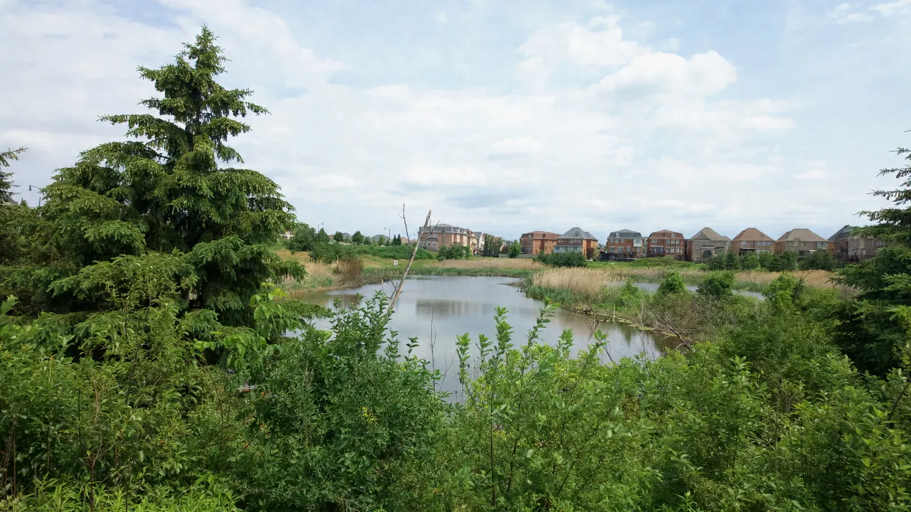
Estates of Credit Ridge sits in the Credit River’s part of west Brampton, and green space is woven through the neighbourhood itself: ponds, ravine lots, Wolf Country Valley, four named parks, and multi-use paths along Mississauga Road and Williams Parkway. Some streets back directly onto a pond, ravine lot, or green area, including Wolf Country Valley; others are a short walk from a park or path. This guide covers what that access actually looks like, year-round, and how it connects to the wider Credit River valley.
The local trail and path network
Day to day, the paths residents use most are close to home:
- Multi-use trails along Mississauga Road and Williams Parkway, suited to walking, running and cycling along the neighbourhood’s edges.
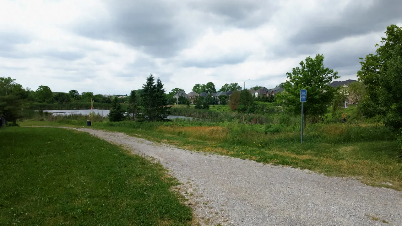
- Wolf Country Valley: a naturalized valley with a gravel trail and a pond, near Williams Parkway across Elbern Markell Drive from Lorenville Public School.
- Pond paths: a walking path runs by Samuel Connor Pond near Royal West Drive and Williams Parkway, connecting toward Wolf Country Valley on the other side.
The valley setting, wooded slopes, open grass and water, gives these walks a character that’s different from a typical suburban sidewalk loop. Deer, birds and fox are among the wildlife residents report seeing along the green corridors.
The Credit River and the Credit Valley Trail
The Credit River runs through west Brampton on its way from the headwaters near Orangeville to Lake Ontario at Port Credit. Credit Valley Conservation (CVC) is building the Credit Valley Trail, a planned 100-kilometre pathway through the Credit River Valley from Orangeville to Lake Ontario, working with Orangeville, Caledon, Halton Hills, Brampton and Mississauga. The trail is a work in progress, with sections being developed and connected over time, so check creditvalleytrail.ca for the parts that are open today.
How access actually works from the neighbourhood’s streets
Residents on streets that back directly onto a pond, ravine lot, or green area, including Royal West Drive, Elbern Markell Drive, Fort Williams Drive, Island Grove, Beacon Hill Drive, Adamsville Road, and others, have open space right behind the yard. See Ravine & Pond Lots in Estates of Credit Ridge for the full street-by-street breakdown. For everyone else, a park, pond or path is a short walk from most streets: the neighbourhood was planned with green space built in rather than as an afterthought.
The result, for many households here, is that an evening walk past a pond or through a valley is a routine part of an ordinary weekday rather than a planned weekend outing.
The named parks
Beyond the paths themselves, four named parks sit inside the neighbourhood, plus Wolf Country Valley:
- Luongo Park
- Maxwell & Lois Rice Park: named for and adopted by the Credit Valley Residents Association, per the City of Brampton park sign.
- Lorenville Park
- Maybeck Park
- Wolf Country Valley: a naturalized valley area with a gravel trail and pond, closer to the natural, undeveloped end of the spectrum compared to maintained parkland.
See each park’s dedicated guide for more detail, and the full Parks & Trails overview for the complete picture.
Conservation lands and Credit Valley Conservation
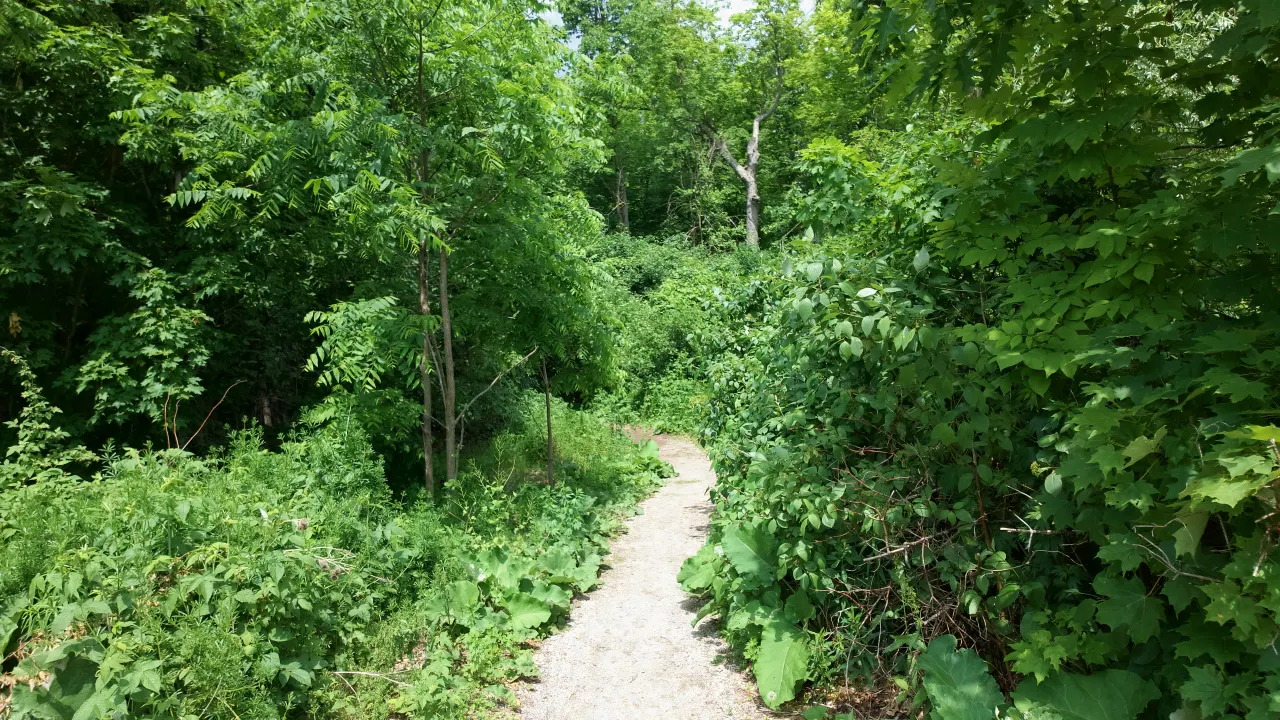
Credit Valley Conservation manages protected lands along the Credit River: forested valley sections, wetland habitat, and naturalized meadow areas. These areas are managed under conservation-authority rules rather than standard municipal park rules (meaning, for example, different expectations around off-trail use, dogs, and development setbacks near the watercourse).
What it looks like by season
Spring and summer (roughly April through October): the paths and parks are at their busiest. Families use the parks daily, the valleys are in full leaf, and wildlife is most active.
Fall: the valleys and tree-lined ponds change colour through October, a good time of year for longer walks.
Winter: access depends on conditions. Paved paths clear faster than gravel and natural-surface trails, which can be icy.
Why this affects home value, not just lifestyle
A pond, ravine-lot or green-area backing is a feature buyers specifically look for, because the privacy, the natural view and the open space behind the lot cannot be added later by renovation. How much it adds varies home by home, so compare recent activity on the same street in the street guides and on the Market Data page.
FAQ
Does Estates of Credit Ridge have trails?
Yes. Multi-use trails run along Mississauga Road and Williams Parkway, Wolf Country Valley has a gravel nature trail, and walking paths pass several of the neighbourhood’s ponds. See Ravine & Pond Lots in Estates of Credit Ridge for the streets that back onto green space.
What is the Credit Valley Trail?
A planned 100-kilometre pathway through the Credit River Valley from Orangeville to Lake Ontario, being built by Credit Valley Conservation with its municipal partners, including Brampton. Sections are still being developed; see creditvalleytrail.ca for what is open.
Do homes that back onto a pond or ravine lot cost more?
Buyers value that kind of backing for its privacy and view, but how much it adds varies home by home. See current Market Data and the street guides for recent activity.
What parks are in Estates of Credit Ridge?
Luongo Park, Maxwell & Lois Rice Park, Lorenville Park and Maybeck Park, plus the Wolf Country Valley natural area. See the Parks & Trails guide.