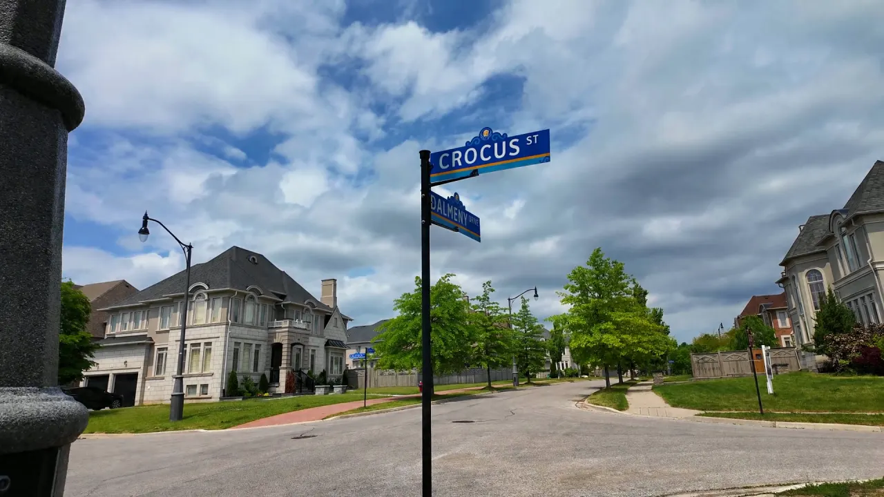
Estates of Credit Ridge · Street Guide
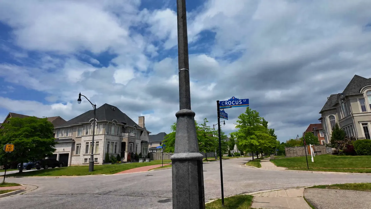
Crocus Street
- 5 Homes
- 0 For sale
- 0 For lease
Homes for Sale or Lease on Crocus Street
Nothing listed on Crocus Street right now
Watch this street and you’ll get an email when a home here is listed for sale or lease. In the meantime, see what’s available on nearby streets.
Living on Crocus Street
-
City Ward Ward 5
-
Garbage & Recycling Day Thursday, Zone B
-
Nearest Transit Stop Royal West Dr btwn Beacon Hill Dr & Williams Pkwy · 6 min walk Route 60
Street facts contain information from the City of Brampton, Region of Peel, and Brampton Transit, licensed for reuse. Figures are a point-in-time snapshot and may change. Verify collection days, routes and safety zones with the relevant authority before relying on them.
Crocus Street in Motion
What Homes Have Sold for on Crocus Street
Or contact Harpreet directly for a sold price discussion.
Market history on Crocus Street
MLS® records since 2010 show 7 sale listings and 3 sales on Crocus Street, a street of 5 homes. 50% of attempts to sell here ended in a sale, below the 72% neighbourhood figure.
-
Sell-through since 2010 50% Estates of Credit Ridge: 72%
Figures since 2010, as of October 16, 2026. Groups with fewer than 5 records are not shown, and a home relisted within 90 days counts as the same attempt to sell.
Based on data from the Toronto Regional Real Estate Board. Analysis by Harpreet Sandhu, Broker.
Watch Crocus Street
Get an email when something changes on this street, sent as it happens or as a daily summary.
- New listings for sale or lease
- Price changes
- Sold and leased results (members)
- Instant, daily or twice-daily emails
Your email carries into account setup · No spam · Unsubscribe anytime
Nearby Schools & Parks
Straight-line distance from here. Not a statement of school catchment or zoning; always verify assignment with the applicable board.
Schools
- Ingleborough Public School 0.2 km away
- St. Jacinta Marto Catholic Elementary School 0.6 km away
- Lorenville Public School 0.7 km away
- St. Roch Catholic Secondary School 1.6 km away
Parks
- Maxwell & Lois Rice Park 0.1 km away
- David Heggie Pond 0.2 km away
- Wolf Country Valley 0.4 km away
- Samuel Connor Pond 0.5 km away
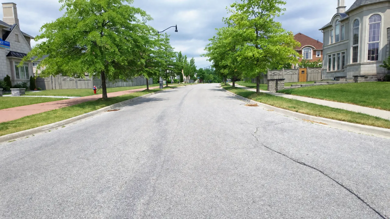
The Road on Crocus Street
Measured only along the part of Crocus Street inside Estates of Credit Ridge.
-
Road Type Local road, 2 lanes A residential street that mainly serves the homes on it
-
Length in the Neighbourhood About 170 m
-
Speed Zone 40 km/h Neighbourhood Safety Zone Most of this street is inside the City's 40 km/h zone
-
Sidewalks One side For most of its length, from the City sidewalk map
-
Street Lights 4 City light poles
Contains information from the City of Brampton, including information licensed under the Open Government Licence – City of Brampton. Source: City of Brampton: Brampton Plan Schedule 3C Streets Network (CC BY 4.0); City of Brampton: Street Light Poles (CC BY 4.0); City of Brampton: Sidewalks (topographic, last updated 2022) (CC BY 4.0); City of Brampton: Traffic Calming (40 km/h Neighbourhood Safety Zones, Speed Cushions). Lengths and counts are measured from City map layers and are approximate.
Lot Sizes on Crocus Street
Most lots on Crocus Street are about 50 ft wide (4 of 5 measured). 1 is over 65 ft. 2 are corner lots.
-
Typical Frontage About 50 ft Median about 50 ft across 5 lots
-
Typical Lot Area About 6,360 sq ft Median, about 591 m², about 120 ft deep
-
Lot Shapes 2 corner
Contains information from the City of Brampton, including information licensed under the Open Government Licence – City of Brampton. Source: City of Brampton: Residential Parcels (Additional Residential Unit search map); City of Brampton: Streets (centrelines) (CC BY 4.0). Approximate, measured from City parcel boundaries. Frontage is the length along the street line (the shorter street side on corner lots). Not a survey; check the survey or deed for any one home.
From the Journal
Guides for Crocus Street owners
-
Owner's Handbook
Garbage Day and City Services in Estates of Credit Ridge
Thursday collection, bin rules, missed pickups, 311, Peel water billing, Ward 5 and the nearest library and rink for Estates of Credit...
-
 Owner's Handbook
Winter in Estates of Credit Ridge: Snow, Windrows, Plows
Who clears Estates of Credit Ridge streets, sidewalks and windrows, how fast the City plows, the plow tracker, and Brampton's snow grant...
-
 Homes & Lots
Estates of Credit Ridge Lot Sizes: 40, 50 and 60 Foot Lots
What 40, 50 and 60 foot lots mean in Estates of Credit Ridge: where each width is common, pie and corner lots,...
-
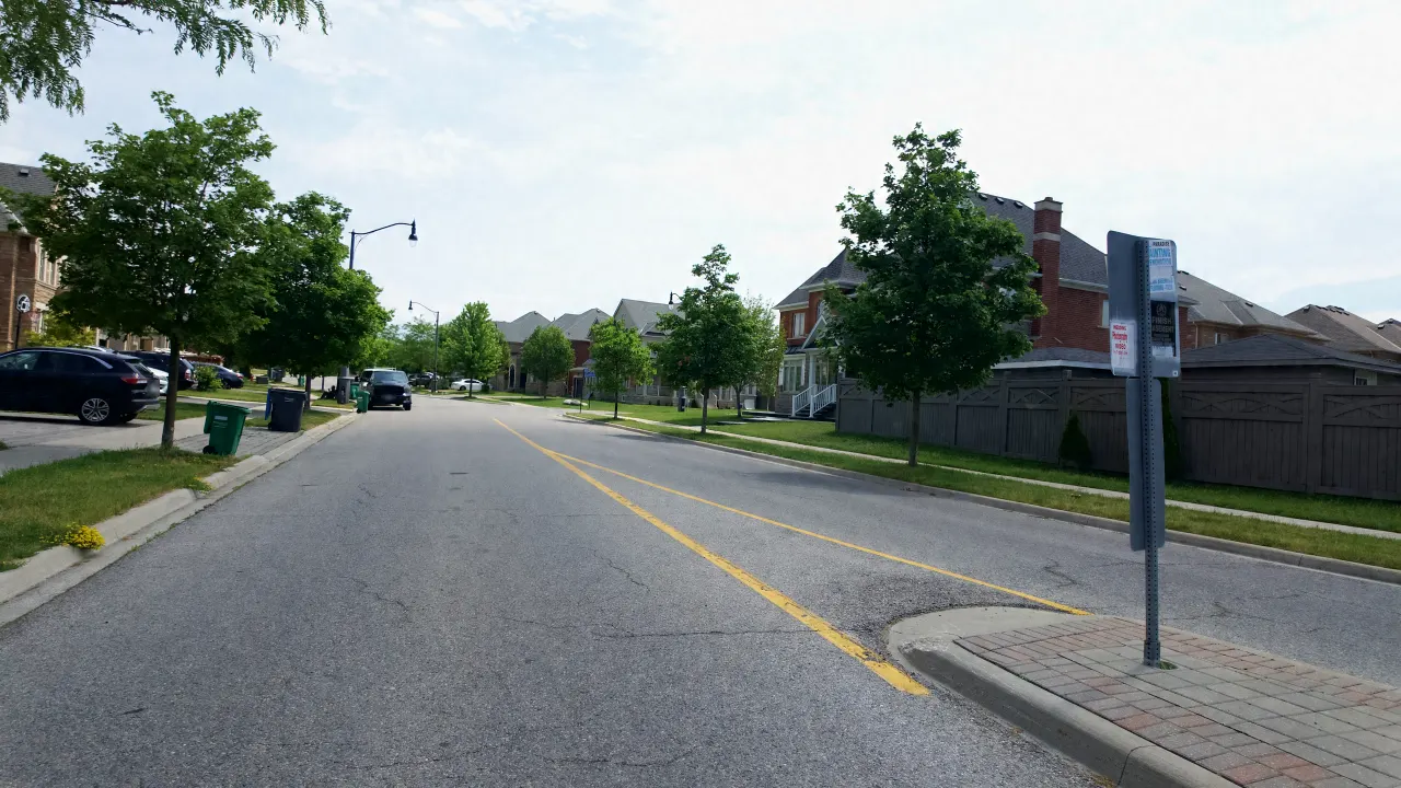 Owner's Handbook
Maintaining a 10 to 18 Year Old Estates of Credit Ridge Home
What to watch on a 10 to 18 year old Estates of Credit Ridge home: grading, roofs, furnace and AC sizing, water...
-
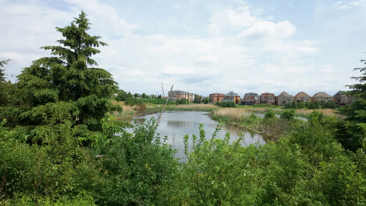 Homes & Lots
Ravine & Pond Lots in Estates of Credit Ridge
Which streets in Estates of Credit Ridge back onto a pond, ravine lot, or Wolf Country Valley: street by street, from the...
-
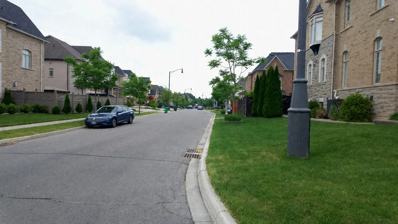 Owner's Handbook
Brampton Driveway Widening Rules for Estates of Credit Ridge
By-law 32-2026 for Estates of Credit Ridge homes: driveway widths for 40, 50 and 60 foot lots, the 0.6 m landscaping strip...