Heritage Heights: The Plan West of Estates of Credit Ridge
What Brampton's Heritage Heights plan sets out west of Mississauga Road: neighbourhoods, jobs, Highway 413, transit and timing, explained for neighbours.

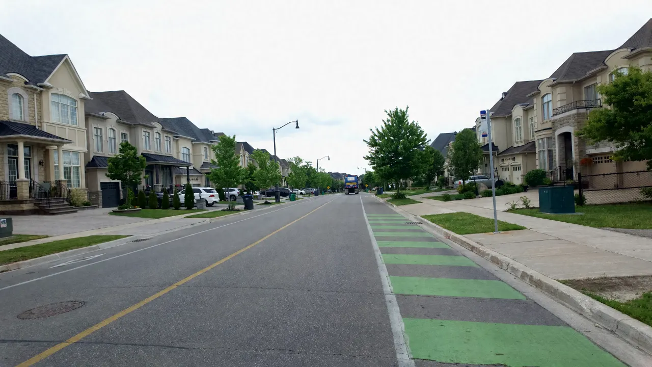
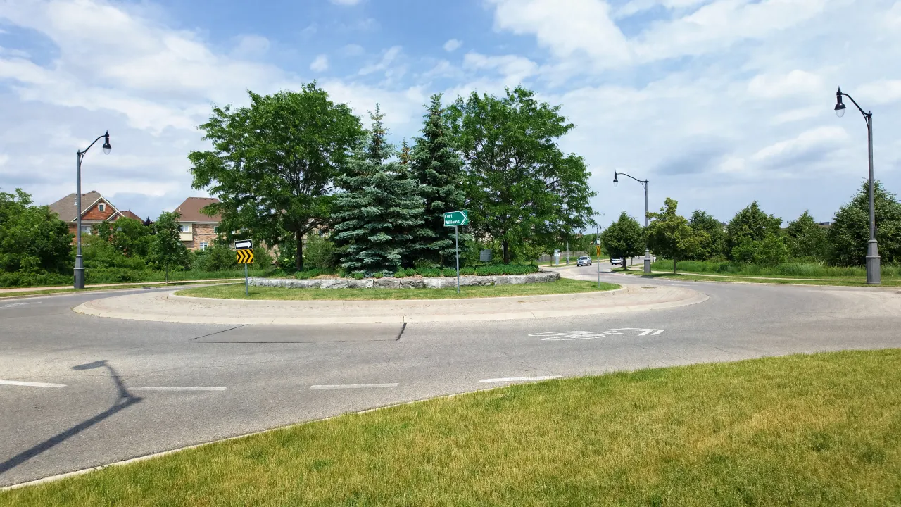
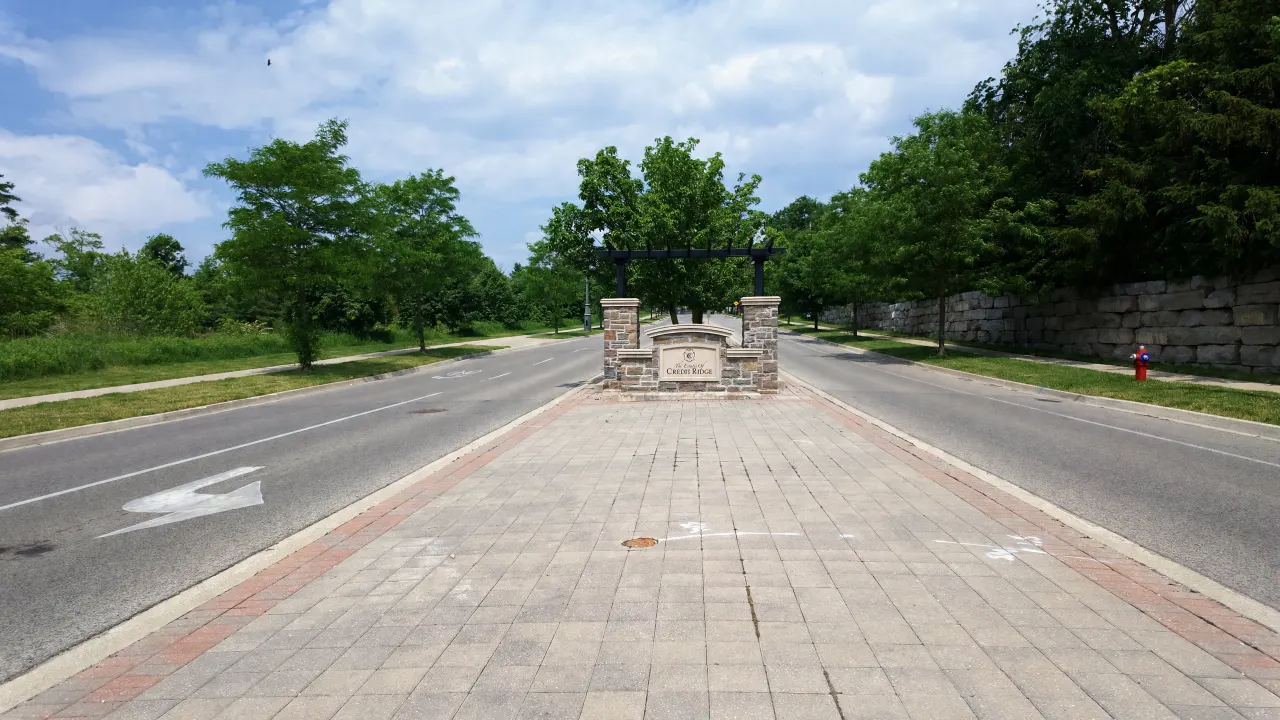
Directly across Mississauga Road from Estates of Credit Ridge is a large block of mostly undeveloped land that the City of Brampton has planned as a new community called Heritage Heights. This guide explains what the City’s approved plan says, in plain language, using only the City’s and the Province’s own published documents. It is not a review of any individual development application.
Where exactly is Heritage Heights?
Heritage Heights is about 1,700 hectares (3,500 acres) in northwest Brampton. The City’s plan bounds it by Mayfield Road to the north, Mississauga Road to the east, the Credit River Valley to the south and Winston Churchill Boulevard to the west. Its eastern edge sits directly across Mississauga Road from Estates of Credit Ridge.
The City describes the area as about one sixteenth of Brampton’s total land area. It combines two of the City’s secondary plan areas: Area 52 (Huttonville North) and Area 53 (Mount Pleasant West). The plan calls the community the “north-western gateway” to Brampton from Halton Hills and Caledon. For the wider area around it, see our guide to Credit Valley, Brampton.
Two corridors cross the lands and shape everything else:
- The CN rail corridor (the Kitchener GO line) runs east to west through the area, along with a Metrolinx train layover and maintenance facility.
- The Highway 413 corridor runs north to south through the middle, splitting the area into east and west halves.
For Estates of Credit Ridge residents, the part to watch is Precinct 52-1, the southeast precinct, which sits west of Mississauga Road around the westward lines of Williams Parkway and Royal West Drive.
What is planned for Heritage Heights?
The plan calls for a complete community of homes, jobs, parks and services, built out to 2051 and beyond. The City’s Transportation Master Plan says the approved plan envisions 132,188 people and 54,307 jobs. The land is divided into seven precincts, and each needs its own detailed Precinct Plan before development there can be approved.
The main land use designations in the plan are:
- Neighbourhoods. Primarily low-rise homes, planned around the “15-minute neighbourhood” idea: shops, schools, daycare, parks and services within a short walk, organised around Neighbourhood Centres.
- Mixed Use Residential (Medium). Mid-rise buildings and townhouses with room for retail, service and office uses. The plan also allows high-rise buildings in this designation at Mississauga Road and Sandalwood Parkway.
- Mixed Use Residential (High). High-rise and mid-rise mixed-use buildings, generally with shops and services at street level.
- Corridor Mixed Use ‘A’ and ‘B’. Bands along the Highway 413 corridor focused on employment, such as offices, health and life sciences, research, advanced manufacturing, hotels and post-secondary education. In Precinct 52-2 these lands must be planned for at least 2,000 jobs.
- Employment. Light industrial, office and technology uses, with operations fully enclosed in buildings.
- Major Institutional. Land for a future hospital or health and wellness facility.
For scale, the plan’s height guide defines low-rise as up to 4 storeys, mid-rise as 4 to 12 storeys, and high-rise as 13 storeys or more. Exact heights and densities for each precinct are set later, through Precinct Planning.
Will Heritage Heights have parks, schools and a hospital?
Yes, the plan provides for all three, though most locations are set later in Precinct Planning. It protects a Natural Heritage System of valleys, watercourses, wetlands and woodlands, and adds parks, trails and cycling routes. It lists new elementary and secondary schools among planned facilities and reserves land for a future hospital.
Natural Heritage System and parks. The plan describes the Natural Heritage System as valleylands, watercourse corridors, wetlands, woodlands, wildlife habitat, linkage corridors and buffers. Final boundaries are set through environmental studies, with “no net loss” to those boundaries when development is approved. Trails and multi-use paths are encouraged alongside it, which may extend the walking routes described in our parks and trails guide.
Schools. The plan names new or renovated public elementary and secondary schools among the community facilities that will serve the area. School sites are identified during Precinct Planning, working with the school boards.
Hospital. The plan reserves Major Institutional land for a hospital or health and wellness facility. If the Province has not committed capital funding for a hospital on that site by 2030, the land can be released for other major institutional uses or for uses permitted under the plan’s mixed-use policies.
Other services. The plan also says development should “generally not outpace investment” in community services and facilities.
How does Highway 413 fit into Heritage Heights?
The future Highway 413 runs north to south through the middle of Heritage Heights. The Province’s preferred route shows interchanges at Mayfield Road and Bovaird Drive, with a dedicated transitway alongside the highway. The City’s plan is built around this corridor and places employment lands next to the highway.
Highway 413 is a provincial project. The Province describes it as a 52 km highway from Highway 400 to the 401/407 ETR interchange, plus extensions to Highway 410 (4 km) and Highway 427 (3 km), with 11 interchanges at municipal roads. The Province designated the highway in November 2025, and its final Environmental Impact Assessment Report was scheduled for March 2026. The Province has not published an opening date. Our separate post on Highway 413 and Estates of Credit Ridge covers the early works near the neighbourhood.
What the “2035” clause actually says. People often summarise this as a plan to rezone the highway lands if the highway is late. The actual policy is narrower. In Precinct 52-2, homes and other non-employment uses can go on up to 50% of the Corridor Mixed Use ‘B’ land without restriction. If the highway is not operational by 2035, that limit rises to 75%. The aim is to protect space for jobs while still letting the land develop if the highway is delayed.
What transit is planned for Heritage Heights?
The City’s Transportation Master Plan (February 2026) calls for a provincial transitway along Highway 413, with stations at the Mayfield Road and Bovaird Drive interchanges. It adds priority bus or Züm routes on Mississauga Road, Bovaird Drive, Heritage Road and Mayfield Road. A GO station inside Heritage Heights is mentioned but remains conceptual.
- Mississauga Road and Bovaird Drive are identified as the focus for priority bus, Züm and future rapid transit connecting Heritage Heights with the rest of Brampton.
- Mount Pleasant GO remains the area’s rail station. A Lagerfeld Drive extension is planned as a key transit support corridor between the station and Heritage Heights. Our commuting guide covers the station as residents use it today.
- A Heritage Heights GO station on the Kitchener line is referenced in the plan, but the Transportation Master Plan says it “does not have a planning status” and is considered conceptual.
Which roads will connect Heritage Heights to Estates of Credit Ridge?
Several roads that run through or beside Estates of Credit Ridge are planned to continue west. The City’s Transportation Master Plan extends Williams Parkway and Sandalwood Parkway across Mississauga Road, and a City study plans Royal West Drive as a two-lane collector running west from its existing section through Precinct 52-1 to Heritage Road.
- Royal West Drive. The Precinct 52-1 study shows Royal West Drive running on a diagonal through the precinct, joining the existing Royal West Drive at its east end and Heritage Road at its west end, mostly surrounded by low-rise homes. The City began a Schedule C Class Environmental Assessment for it in November 2025.
- Williams Parkway. The Transportation Master Plan recommends that Williams Parkway, which ends at Mississauga Road today, continue west into Precinct 52-1 and end at a realigned Doubles Drive.
- Sandalwood Parkway. It is planned to extend west into the new community.
- Bovaird Drive. The Province’s early works include an underpass and widening of Bovaird Drive from Heritage Road to 500 metres west of Mississauga Road, for the future Highway 413 interchange.
Road timing in the Transportation Master Plan is grouped into 2031, 2041 and 2051 planning horizons, and the plan notes that development can move ahead of or between those horizons.
When will Heritage Heights be built?
Heritage Heights is a long-term plan that runs to 2051 and beyond. Building is expected to start along Mississauga Road and move west. A 2025 servicing study prepared for the City anticipated preliminary servicing beside Mississauga Road in 2026 and the start of house construction in late 2026, continuing for five to seven years.
Key milestones from the City’s documents:
- 2009: Council authorises secondary planning for Areas 52 and 53.
- 2020: Council endorses a new Heritage Heights Conceptual Land Use Plan.
- April 6, 2022: Council adopts Official Plan Amendment 2006-210, establishing the Heritage Heights Secondary Plan. It is then appealed to the Ontario Land Tribunal.
- August 2024: The Ontario Land Tribunal approves the Secondary Plan.
- February 2026: The Heritage Heights Transportation Master Plan is completed.
Treat projections as projections. The same servicing study says there is “no formally defined geographical phasing plan”, and the City’s Transportation Master Plan says the exact timing of Highway 413 is not currently known.
What does Heritage Heights mean for Estates of Credit Ridge residents?
Heritage Heights is the community the City has planned across Mississauga Road. Over time it adds services, jobs, transit and parks within a short drive, and several local roads are planned to connect into it. It also means years of nearby construction and more traffic on shared roads, which the City’s studies aim to manage.
- Access and services. Shops and services in Neighbourhood Centres and mixed-use areas, land reserved for a hospital or health facility, and new schools, parks and community facilities, all a short distance away.
- Jobs close to home. The employment and corridor lands along Highway 413 are meant for offices, health, research and technology uses.
- Transit. Priority bus or Züm service on Mississauga Road and Bovaird Drive and a transitway along Highway 413 would add options for neighbours too. Most of this depends on future transit and provincial decisions.
- Traffic and construction. A new community of more than 130,000 people next door will add traffic to Mississauga Road, Bovaird Drive and the westward extensions of Williams Parkway and Royal West Drive. Expect construction on and around these roads for several years.
- Nature. The Credit River Valley and the Natural Heritage System are to be protected and connected by trails.
In my opinion, Heritage Heights is the last missing piece of the west Brampton development corridor: west of Mississauga Road, south of Mayfield Road and east of Winston Churchill Boulevard. It will be reached largely through Estates of Credit Ridge, and I think it will bring our residents more opportunities: more services, more transit, and the benefits of having more people in the area. Traffic will be affected. But with the City’s traffic planning studies, the future Highway 413 running right through Heritage Heights, and the planned transitways, I see real benefits. With neighbourhoods, mixed-use residential and employment lands, it means jobs and offices close to home.
Harpreet Sandhu, Real Estate Broker
Frequently asked questions
Is Heritage Heights part of Estates of Credit Ridge?
No. Estates of Credit Ridge is the existing neighbourhood east of Mississauga Road. Heritage Heights is the separate new community the City has planned on the west side of Mississauga Road, running out to Winston Churchill Boulevard.
How many people will live in Heritage Heights?
The City’s Transportation Master Plan says the approved Secondary Plan envisions 132,188 people and 54,307 jobs. That is a long-term, full build-out figure for 2051 and beyond, not a near-term number.
Does Highway 413 go through Heritage Heights?
Yes. The provincial Highway 413 corridor runs north to south through the middle of Heritage Heights, with planned interchanges at Mayfield Road and Bovaird Drive. The Province has not announced an opening date.
Will there be a GO station in Heritage Heights?
Not as of now. The plan mentions a potential GO station on the Kitchener line, but the City’s Transportation Master Plan says it does not have a planning status. Mount Pleasant GO remains the nearest station.
Where can I read the plan myself?
The City of Brampton posts the Secondary Plan, its maps and all supporting studies on its Heritage Heights Documents, Studies and Reports page, linked below.
Sources
- City of Brampton, Heritage Heights project page (boundaries, Areas 52 and 53, one sixteenth of the city’s land area, Ontario Land Tribunal approval): brampton.ca
- City of Brampton, Heritage Heights background (2009 authorisation, 2020 conceptual plan, OPA 2006-210 adopted April 6, 2022, appeals): brampton.ca
- City of Brampton, Heritage Heights Documents, Studies and Reports: brampton.ca
- Heritage Heights Secondary Plan, Official Plan Chapter 52 (size and boundaries, gateway vision, 15-minute neighbourhoods, Natural Heritage System, designations, 2,000-job minimum, 2035 clause, 2030 hospital clause, height table): brampton.ca (PDF)
- Heritage Heights Transportation Master Plan, Final Report, February 2026 (Ontario Land Tribunal approval August 2024, 132,188 people and 54,307 jobs, transit network, GO station status, road extensions): brampton.ca (PDF)
- Heritage Heights Infrastructure Servicing Study (August 2025, prepared for the City on behalf of the landowner group; preliminary phasing): brampton.ca (PDF)
- Notice of Study Commencement, Heritage Heights Block 52-1, Royal West Drive and Longevity Road: brampton.ca (PDF)
- Online Public Engagement presentation, Precinct 52-1 Royal West Drive and Longevity Road: brampton.ca (PDF)
- Province of Ontario, Highway 413 project overview: highway413.ca
- Province of Ontario, Highway 413 process and timeline: highway413.ca
- Province of Ontario, Highway 413 early works (Bovaird Drive underpass): highway413.ca
- Province of Ontario, Highway 413 preferred route fact sheet, April 2022 (interchange locations): highway413.ca (PDF)