Creditview Road in Estates of Credit Ridge: A Short History
How Creditview Road went from a tree-lined country road to a busy collector: Harpreet's memories, City traffic counts since 2000 and a heritage corridor.

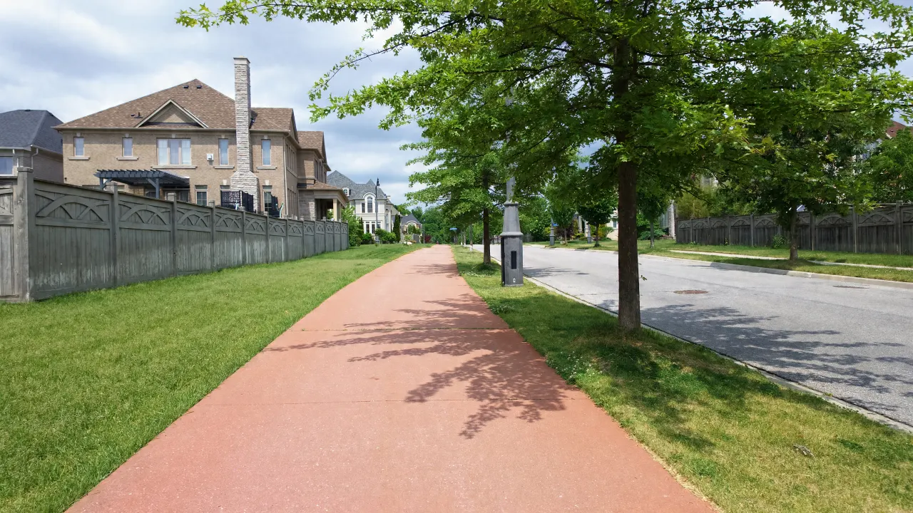
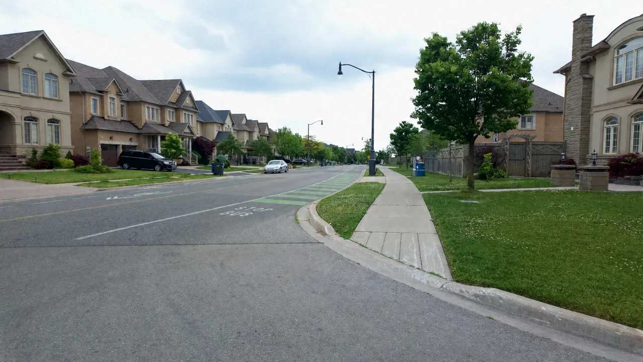
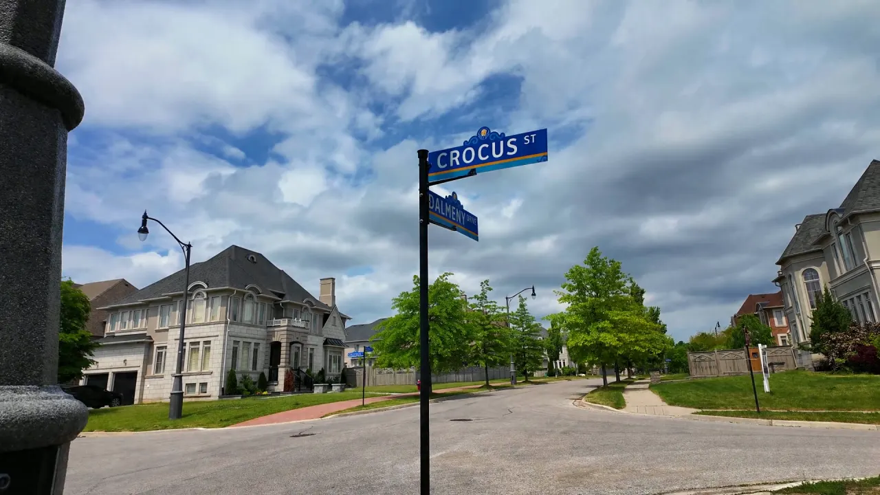
Creditview Road runs along the eastern side of Estates of Credit Ridge. Today it is a two-lane City collector road with sidewalks, street lights and speed cushions. Not long ago it was a quiet, tree-lined country road. This post traces that change through Harpreet’s memories of growing up in Brampton, the City’s own traffic counts, and the community plan that set aside a Creditview Road Heritage Corridor.
What was Creditview Road like before Estates of Credit Ridge?
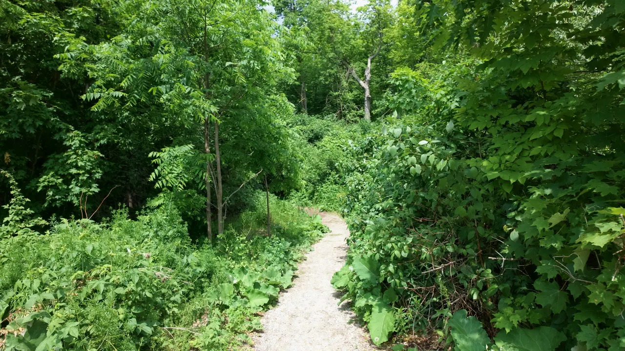
It was a tree-lined country road. Growing up in Brampton, Harpreet travelled Creditview Road as a through road. Before Williams Parkway was extended west from Chinguacousy Road, that stretch of Williams did not exist, and Creditview ran straight through up to Bovaird Drive.
Growing up, I travelled Creditview Road as a through road. Before Williams Parkway was extended west from Chinguacousy, that part of Williams didn’t exist, and Creditview went straight through up to Bovaird. It was tree-lined, like a country road back then.
Harpreet Sandhu, Real Estate Broker
The farmland around it had deep roots. The two nineteenth century farmhouses that still stand in the neighbourhood, the Reid Farmhouse and the LeFlar/McClure Farmhouse, are reminders of the Chinguacousy Township farms this land was part of. Our post on the neighbourhood’s heritage homes tells their story.
How much has traffic on Creditview Road grown?
A lot. At the City of Brampton’s counting station on Creditview Road between Highway 7 and Queen Street West, the average weekday 24-hour volume was about 450 vehicles in 2000. It passed 3,000 vehicles in 2011, and the most recent count, in 2024, was about 2,427 vehicles a day.
| Year | Average weekday vehicles (24 hours) |
|---|---|
| 2000 | 450 |
| 2002 | 940 |
| 2004 | 1,840 |
| 2006 | 2,170 |
| 2011 | 3,224 |
| 2013 | 3,115 |
| 2015 | 1,070 |
| 2018 | 1,822 |
| 2019 | 2,169 |
| 2022 | 2,158 |
| 2024 | 2,427 |
The counts rose steadily through the 2000s and early 2010s, dropped sharply by 2015, then climbed again. The City’s data does not say why. The new Williams Parkway section between Creditview Road and Mississauga Road, built as part of the neighbourhood’s servicing, is one possible factor, but the count data alone cannot show the cause. Not every year was counted.
Who built Williams Parkway through the neighbourhood?
The landowners who developed the neighbourhood did. A 2009 City of Brampton report says the Block 2 landowners group agreed to build Williams Parkway, including its bridge, between Creditview Road and Mississauga Road, along with two north-south collector roads, eight stormwater management facilities and the internal roads leading to school and park sites.
That is why so much of the neighbourhood’s shape, its collector roads, roundabouts and ponds, dates from the same planning period. It also explains Harpreet’s memory: before that work, there was no Williams Parkway west of Creditview, and Creditview carried the north-south trips on its own.
What is the Creditview Road Heritage Corridor?
It is a feature of the community plan. Williams & Stewart Associates, who set the design vision and ran the architectural control process for Estates of Credit Ridge, describe a Creditview Road Heritage Corridor that uses heritage-inspired housing forms, along with preserved heritage homes, landscaped roundabouts and gateway features.
The idea, as the planners describe it, was to preserve and enhance the area’s natural and cultural heritage features as the neighbourhood grew, and Creditview Road, the old through road, was one of the places they chose to do it.
What is Creditview Road like today?
The stretch beside the neighbourhood is a two-lane City of Brampton collector road with sidewalks and street lights. It sits inside the City’s 40 km/h neighbourhood safety zone, and the City installed speed cushions between Lorenville Drive and Queen Street West in 2025. Part of it, near James Potter Road, is a community safety zone near a school.
See our Creditview Road street guide for the homes, lot sizes and road facts on the Estates of Credit Ridge section, and our commuting guide for how residents get to the highways and GO today.
Frequently asked questions
Is Creditview Road part of Estates of Credit Ridge?
Part of it. The neighbourhood includes homes on a section of Creditview Road along its eastern side. The road itself continues well beyond the neighbourhood in both directions.
Why did traffic drop on Creditview Road in 2015?
The City’s counts show the drop but do not explain it. Williams Parkway’s new section between Creditview Road and Mississauga Road is one possible factor, but the data cannot confirm it.
Where does the traffic data come from?
From the City of Brampton’s open Traffic Volumes data, which reports the average weekday 24-hour volume at each counting station.
Sources
- City of Brampton, Traffic Volumes, station 9, Creditview Road between Highway 7 and Queen St W, average weekday 24-hour volume (Open Government Licence, City of Brampton): maps1.brampton.ca
- City of Brampton, 2009 Development Allocation Strategy (Block 2 landowners’ agreement to build Williams Parkway between Creditview Road and Mississauga Road): brampton.ca (PDF)
- Williams & Stewart Associates, Estates of Credit Ridge project description (Creditview Road Heritage Corridor): williamsarch.com
- City of Brampton, Brampton Plan Schedule 3C Streets Network (road class and lanes) and Traffic Calming layers (40 km/h zones, speed cushions); contains information from the City of Brampton: Schedule 3C streets and traffic calming
- Harpreet Sandhu, owner notes on Creditview Road before the neighbourhood (October 2026).